When you’re investing in land, building near a property line, or resolving a boundary issue, one of the first questions you might ask is: “How accurate is this survey going to be?”
It’s a valid concern. Property boundaries are legal lines with financial and practical consequences, so how close is close enough?
In this guide, we’ll explain what “accuracy” means in boundary surveys, the factors that influence it, and what you can do to ensure your survey results are both precise and legally defensible. If you’re in Utah and wondering what to expect before hiring a land surveyor, this post is for you.
What “Accuracy” Really Means in Boundary Surveys
When people ask about survey accuracy, they’re often thinking in terms of inches or feet. But boundary surveys aren’t just about measurements, they’re about legal certainty.
A boundary survey is accurate when:
- It reflects the property’s true legal boundaries
- It adheres to state and professional standards
- It can stand up in court if challenged
In other words, accuracy is not just about how close the GPS readings are. It’s about whether the survey is based on the best available legal and physical evidence, interpreted correctly by a licensed professional.
If you want to see how that process unfolds, we explain exactly what happens during a boundary survey in our breakdown of the step-by-step process.
What Affects the Accuracy of a Boundary Survey?
1. The Quality of Legal Descriptions
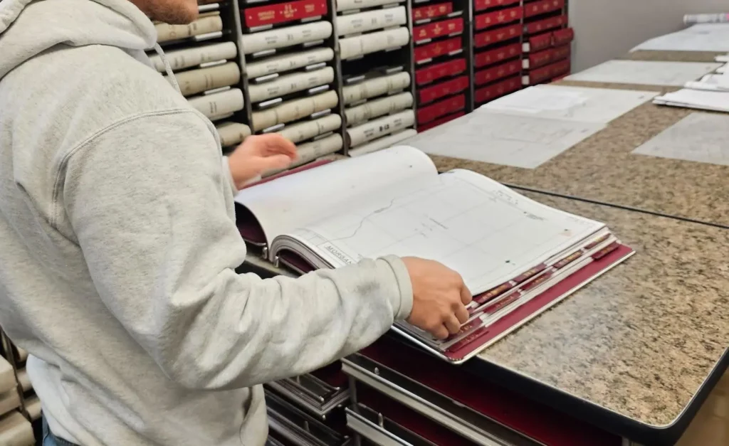
Every boundary survey starts with documents like deeds, recorded plats, and title commitments. If these records are vague or outdated, the surveyor must work harder to interpret the original intent and retrace the property lines.
Older parcels in Utah, especially in rural areas, often rely on metes and bounds descriptions that leave room for interpretation. Even a few missing words or misfiled documents can impact how the boundary is defined.
2. Existing Monuments and Corner Markers
Survey accuracy improves significantly when physical boundary markers (like rebar, pins, or monuments) can be found and verified. But if those markers are missing, moved, or disturbed, the surveyor has to rely more heavily on calculations and historical evidence to reestablish the corners.
Missing monuments are common in older neighborhoods or undeveloped areas, especially where erosion, construction, or landscaping has occurred.
3. Utah’s Terrain and Environmental Conditions
Not all land is equally easy to survey. Surveyors encounter everything from steep mountainous terrain to wide, open plains. Rough terrain can make it harder to locate or access corner points and may limit visibility for accurate instrument readings.
Thick vegetation, fencing, structures, or snow cover can also create challenges that affect fieldwork and precision.
4. Survey Equipment and Technology
Today’s licensed surveyors use a mix of tools, including:
- GNSS (Global Navigation Satellite Systems)
- Total stations for precise angle/distance measurement
- Robotic instruments and digital mapping tools
Advanced technology can significantly improve accuracy, but only when combined with sound judgment and legal understanding.
5. Surveyor Experience and Professional Judgment
Not every boundary can be plotted with perfect clarity. Conflicting deeds, unclear monuments, or overlapping claims may exist.
That’s when a surveyor’s experience makes the biggest difference. A seasoned Utah-based professional understands:
- Local parceling history and land-use patterns
- County-level record quirks
- How to apply legal precedent to gray areas
This is why working with a Utah-based land surveyor, not just a GPS technician, is so important for accurate, reliable results.
What You Can Do to Help Ensure Accuracy
While accuracy depends heavily on the surveyor’s skill and equipment, clients also play a key role in the process. Here’s how to help:
- Provide a recent title report or commitment
This ensures the legal description is up to date and complete. - Share any prior surveys, plats, or lot split information
Even informal documents can help the surveyor understand the site’s history. - Make sure the property is accessible
Unlock gates, notify tenants, and clear overgrown access points if needed. - Be clear about the purpose of the survey
Are you building, resolving a dispute, or preparing for sale? Knowing the goal helps the surveyor recommend the right scope and deliverables.
Want a more detailed prep list? See our post on how to prepare for an ALTA survey, which applies to boundary surveys as well.
Common Misconceptions About Survey Accuracy
“My fence line is the property line.”
Not always. Fences are often installed based on assumptions or convenience, not legal records.
“Google Maps shows the lines, I don’t need a survey.”
Free online maps are not precise enough for legal use. Their property lines are approximate and often misaligned with actual plats.
“The surveyor should match what my neighbor got.”
Two adjacent surveys may differ slightly, especially if they were based on conflicting documents. Your surveyor will prioritize legal accuracy over neighbor symmetry.
“A boundary survey gives me 100% certainty.”
Surveying deals with existing evidence, some of which may be unclear or even contradictory. The surveyor provides the most legally defensible interpretation.
How Survey Accuracy Is Certified
Only a licensed Professional Land Surveyor (PLS) can certify a boundary survey. Once complete, the surveyor will:
- Stamp and sign the plat or report
- Provide digital and/or printed copies
- Deliver the survey in formats suitable for use in transactions or permitting
That stamp is your assurance that the survey meets the standards set by the Utah Professional Engineers and Professional Land Surveyors Licensing Board, and that it can hold up in a dispute.
Final Thoughts: What Property Owners Should Know About Accuracy
The term “accuracy” means more than pinpointing corners on a GPS grid. In land surveying, it means knowing where your legal boundaries begin and end and having the documentation to prove it.
At Highland Surveying, we help homeowners, developers, and land buyers navigate this process with clarity and confidence. Whether you’re planning construction, preparing for a sale, or resolving a boundary issue, our surveys are built to meet the highest professional standards.
Still have questions about accuracy, cost, or timing? Call us at (385) 381-6582 or request a quote online to get started.