Boundary Survey
Restoring the original line through forensic boundary research and quasi-judicial reasoning.
EVERY SURVEY BUILT FOR
LEGAL DEFENSIBILITY
EVIDENCE, LAW & REASONING
FULLY DOCUMENTED
HIGHLAND
LICENSED PLS, PE, UTAH
START WITH
A CONSULTATION
Establishing Clear Property Limits for Your Project's Foundation
At Highland Surveying, we recognize the fundamental importance of clearly defined property lines. Our Boundary Surveys provide a solid foundation for any boundary retracement need, ensuring you have clear property limits. With meticulous attention to detail and unwavering commitment to defensible work, we're your trusted partner in establishing boundaries that matter.
The Significance of Boundary Surveys
A boundary is not a line on a map. It is the extent of an owner's freedom — the edge of what the land can become and what can be built on it. Every right that follows from owning the parcel operates inside that line.
That is why a retracement error is never small. When the line is restored in the wrong place, it quietly narrows what the owner is allowed to do — where a structure can sit, where an easement runs, how the parcel can be developed or divided. The owner inherits a limit they never agreed to, and often never see, until a permit, a sale, or a neighbor forces it into view.
Highland restores the boundary the record created, so the full extent of the land — and the freedom to use it — is established before anything is built on it.
Our Boundary Survey Process
At Highland Surveying, we follow a meticulous process to conduct Boundary Surveys:
Research: We gather historical records, deeds, plat maps, historical photos, and in some cases, parol evidence together with relevant documents that our client may believe to influence the application of fact in our retracement. All this is to understand your property's history.
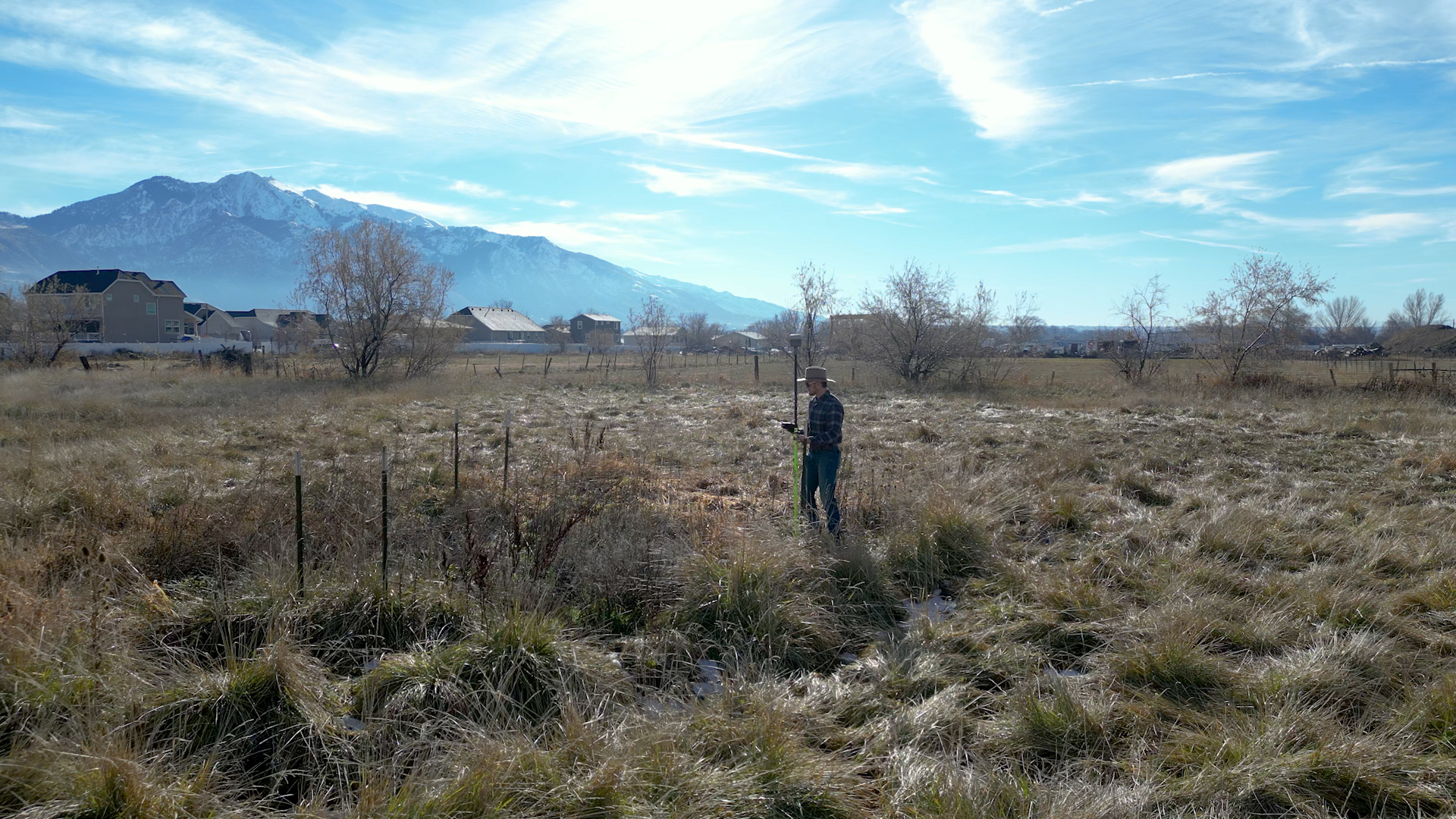
Site Investigation: Our experienced surveyors conduct on-site measurements using advanced equipment to gather spatial data needed for a proper retracement. During our site investigation, we are looking for points on the ground that may impact your property boundaries. How do we know what to look for? That is determined by the research phase. Commonly we will locate fences near a property line, structures on the property, ditches, property corner markers, centerline monuments, Section Corners, etc. There have even been cases where we were required to locate a buried axle for a proper retracement. We do the work beforehand to ensure we have the facts needed for your boundary retracement.
Data Analysis: In the data analysis phase, we compare the spatial data to what we found in our research. In some cases, we may end up analyzing thousands of points and hundreds of legal documents. Through this process, we will locate any concerning discrepancies within the two data sets and determine the applications of boundary law that must be applied in your retracement.
Documentation: This is where we document and explain all of the facts considered in your property boundary retracement in the surveyor's narrative. We label each line surveyed to a section of our narrative for clarity and ease in understanding your survey. We then highlight and call out significant facts on the map portion of your survey for a spatial understanding of their relationship to the rest of your property. We then file this report and plat map with the respective county according to state code. This approach is invaluable in protecting your property rights — anyone who may be concerned with your property boundary will know all of the facts that were considered and the application of law used in retracement.
Because Boundary Retracement Is a Judicial Function — and Highland Treats It Like One.
Forensic Evidence Gathering: Highland locates, evaluates, and reconciles boundary evidence: monuments, occupation, historic records, right-of-way plans, and controlling calls.
Boundary Law Applied: Highland applies senior rights, junior rights, original intent, agreements between parties, and record hierarchy the way the courts require.
Quasi-Judicial Reasoning, Documented: Every determination is explained, cited, and defensible. The survey becomes a legal record — not a set of points or lines on a map.
Built for Legal Defensibility: Highland's work is built for the moments that test it: in court, at closing, in disputes, and before city councils. The documented line wins — and Highland documents everything.
The Foundation of Every Project: Engineering, development, and title all depend on a legally restored boundary. Highland establishes that foundation so the project can proceed with confidence.
Contact Us
For more information, please contact us with any questions.
Real Clients. Real Results.
What Property Owners Say About Highland.
Homeowners, developers, and landowners across Utah trust Highland for accurate, defensible surveying.
Tyler knew exactly what I needed to start my process with a city council. He drew up 3 options I could use without getting expensive survey or engineering work done. He nailed it for what I needed and I will 100% use him for everything when the project moves forward.
Larry P.
Tyler completed our survey for a development project in Harrisville and did a fantastic job, exactly what we needed with great detail. The quality of their work was outstanding, and they maintained clear and consistent communication throughout the entire process.
Jim B.
Fees were reasonable and the end result was better than any company I have worked with in the Utah region. They were able to meet all of our specified criteria for airport work — incredibly precise survey was required and completed perfectly.
Connor B.
We are building a shop and needed a survey to present to planning and zoning. Highland sent me a layout map within a very short time. They were understanding of our limited knowledge and very responsive. We would gladly utilize their skills in the future.
Matt W.
Explore More
Related Services
ALTA/NSPS Surveys
Comprehensive land title surveys meeting national standards for commercial transactions.
Learn More →Topographic Services
Detailed elevation and terrain mapping for site planning and development.
Learn More →Easements & Access Surveys
Define legal access rights and easement corridors on your property.
Learn More →Stop Guessing.
Establish Certainty.
Get a licensed land surveyor who delivers accurate, defensible results — documented for the public record.
Request a Consultation · Licensed PLS · Court-Defensible Documentation · Wasatch Front & Rural Utah