
Boundary surveys may seem simple on the surface, but what happens behind the scenes is far more detailed than most property owners realize. From initial research to delivering a certified map, each step is guided by legal standards, professional judgment, and precision tools.
If you're buying land, settling a dispute, or preparing to build on your property, understanding how a boundary survey is done can give you clarity, reduce surprises, and help keep your project on schedule.
Here’s a clear breakdown of the full boundary survey process.
Step 1: Document Research
Before setting foot on your property, a licensed surveyor begins with a deep dive into the historical and legal records that define your parcel. This research phase provides the foundation for everything that follows.
Surveyors will typically gather and review:
- Subdivision plats and recorded surveys
- Easement agreements
- Utility or access restrictions
- County records and GIS data
- Zoning maps, if relevant to the project
The goal is to understand how your land has been legally described and measured in the past and where there may be inconsistencies, gaps, or ambiguities.
This step can take extra time in Utah, where land descriptions vary between metes-and-bounds, government section systems, and newer platted subdivisions. Experienced Utah surveyors understand how to interpret this variety of formats accurately.
If you're just getting started with property ownership or land use planning, you may want to first understand when and why you need a boundary survey before buying land.
Step 2: Fieldwork
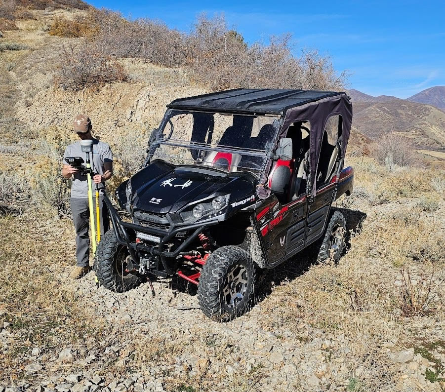
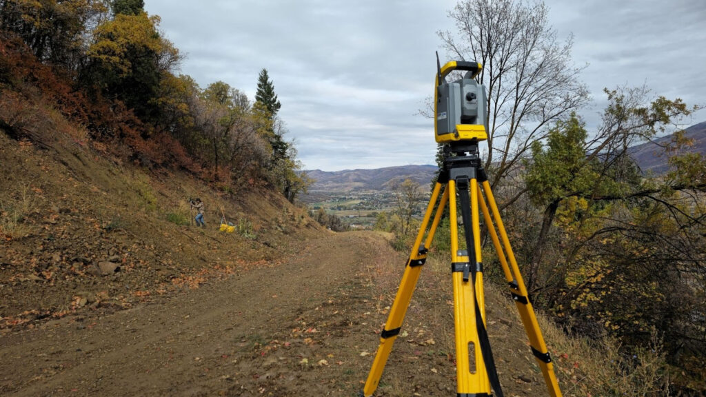
Once records have been reviewed, the surveyor heads to the field with specialized equipment such as GNSS receivers, total stations, and data collectors to begin measuring and documenting the physical site.
Here’s what happens during fieldwork:
- Searching for boundary markers (monuments or pins) that define corners
- Measuring angles and distances between boundary points
- Mapping natural and built features near or on boundary lines
- Identifying any signs of encroachment, like fences or driveways crossing lines
In some parts of Utah, boundary markers may have been disturbed or are missing entirely. Surveyors must navigate terrain conditions, from rural farmland to mountain slopes, while capturing accurate data.
They may also place temporary or permanent markers to re-establish boundaries once verified.
For homeowners building a fence or structure near a property line, this fieldwork phase is critical. It provides the physical confirmation of where boundaries truly lie, and not where fences or assumptions suggest.
Step 3: Analysis and Calculations
After data collection in the field, the surveyor returns to the office to begin comparing physical findings with the legal records gathered during Step 1.
This analysis phase involves:
- Reconciling differences between recorded boundaries and actual field measurements
- Applying rules of retracement to determine the most legally valid property lines
- Evaluating overlaps, gaps, or irregularities in relation to adjacent parcels
- Documenting any potential conflicts, such as encroachments or missing easements
Surveying is both a science and an art. Accurate measurements matter, but interpreting those measurements in the context of legal documents is where experience really counts.
This is especially true when resolving boundary disputes, where surveyors often serve as neutral third parties to establish clear, court-defensible lines.
Want to learn more about this role? See how boundary disputes are often resolved through surveys.
Step 4: Drafting the Boundary Map
Once all calculations are verified, the surveyor creates the final deliverable, a boundary plat or map. This is the document that visually represents your property’s dimensions, corners, and any features affecting its boundaries.
The plat will typically include:
- Lot lines with dimensions and bearings
- Locations of monuments, markers, or pins
- Neighboring properties and shared boundaries
- Visible encroachments or conflicts
- Relevant easements or right-of-way areas
The final map becomes the legally defensible representation of your property’s boundary lines. If you're planning to submit plans to a city, apply for a permit, or record a lot line adjustment, this map will be required.
At this stage, accuracy and clarity are critical. Surveyors ensure the map can be easily understood by building officials, attorneys, title companies, or other stakeholders.
Step 5: Final Deliverable
The final boundary survey deliverables typically include:
- Certified boundary plat, stamped and signed by the licensed surveyor
- Field notes or supporting documentation
- Digital files, such as PDFs for general use or CAD files for design teams
- Hard copies, if requested by lenders, attorneys, or planning departments
These materials are not just for your records. They serve real, ongoing purposes in real estate, land development, and permitting. Make sure you store them in a safe place and provide copies to any relevant stakeholders.
If you’re working with engineers or developers, the CAD file may also serve as the base layer for site planning and design.
Related Reading and Next Steps
If you're preparing for a survey or wondering how to get the most accurate results, it's worth reading about what affects boundary survey accuracy and precision, including terrain, records quality, and marker availability.
Homeowners often ask a range of questions before hiring a surveyor. We've compiled those in our guide on common boundary survey questions from property owners to help you feel more confident before the work begins.
Final Thoughts: The Value Behind Every Step
A boundary survey is more than just a technical exercise. It's a legal and financial safeguard — a way to verify what you own, where you can build, and how to protect yourself against disputes.
Each phase, from research to final map, plays a key role in delivering a clear and accurate picture of your property. Whether you're planning to build, sell, or just get peace of mind, knowing what to expect from the process can save you time, money, and risk.
Looking for a trusted surveying team in Utah? Highland Surveying has helped homeowners, developers, and attorneys across the state complete accurate, defensible boundary surveys. Call us at (385) 324-7090 or request a quote online to get started today.