
Discover how expert civil design leads to cost savings, smoother construction, and lasting property value in Utah.

Did you know that poor land planning can increase project costs by up to 30% due to unforeseen issues with drainage, elevation, or utility access? For property developers and homeowners in Utah, these challenges can lead to significant delays, unexpected expenses, and compliance headaches. That’s why strategic civil engineering and design grounded in precise land surveying are essential for successful land development.
Whether you’re planning a new residential community or upgrading an existing commercial site, strategic land planning ensures your project is efficient, compliant, and built to last. In this blog, we’ll explore the vital role that civil engineering and design play in laying the groundwork for better projects. You’ll learn how thoughtful planning prevents common pitfalls like drainage failures and road instability, and how collaboration between surveyors and civil engineers is the key to seamless development.
Let’s dive into how Highland Civil Engineering and Design helps developers make smarter, more strategic decisions from the ground up.
Understanding the Impact of Civil Engineering and Design on Project Success
At its core, civil engineering and design involve the planning, development, and maintenance of infrastructure projects—everything from residential subdivisions to commercial developments. Strategic land planning is a fundamental aspect of this process, focusing on how land is utilized, accessed, and maintained to ensure both functionality and longevity.
Why Strategic Land Planning Matters
Without strategic planning, even the most promising project can encounter issues like flooding, unstable foundations, or inadequate utility access. According to the American Society of Civil Engineers (ASCE), poorly planned infrastructure can lead to safety risks and higher maintenance costs, with stormwater management issues alone costing millions in repairs annually.
Imagine breaking ground on a new commercial complex only to discover that the chosen road base depth can't support heavy traffic, or that snow buildup during Utah’s winters blocks critical access routes. Such oversights are not just inconvenient, they're costly and time-consuming to fix.
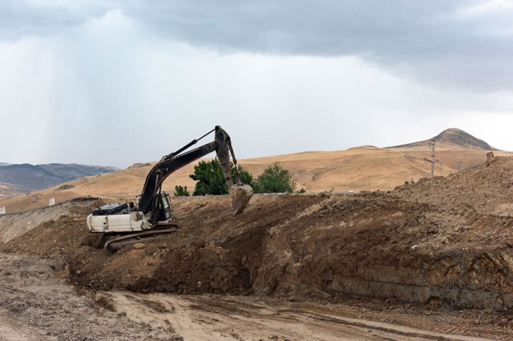
Common Challenges Addressed by Strategic Land Planning
- Elevation and Slope Issues: Failure to account for natural slopes can lead to water runoff problems, erosion, and structural instability.
- Inadequate Drainage Planning: Without considering stormwater flow, projects can suffer from flooding and damage to foundations.
- Utility Access Problems: Overlooking utility pathways can delay project timelines and inflate costs.
- Improper Road Base Depth: Choosing the wrong base depth can result in cracked or uneven surfaces, especially under heavy loads.
- Snow and Seasonal Considerations: In Utah, ignoring snow removal needs can lead to blocked access and safety hazards.
One of Highland’s recent projects involved developing a multi-use residential area where early survey data identified potential drainage issues. By addressing these concerns through strategic civil engineering and design, the project avoided costly drainage retrofits and passed municipal approvals without delay.
By integrating comprehensive surveying and thoughtful planning, Highland helps developers mitigate risks, maintain compliance, and ensure project success from start to finish.
Proven Strategies for Effective Civil Engineering and Land Planning
Effective civil engineering and design start with a clear understanding of the land and its unique challenges. By leveraging accurate survey data and strategic planning, developers can minimize risks and maximize project success. Here’s how to build a solid foundation through strategic land planning:
1. Comprehensive Land Surveying: The First Step to Smart Planning
Before any development begins, it’s essential to understand the land’s natural features, elevation changes, and boundaries. Accurate surveying provides the data needed to make informed decisions throughout the project.
Tips for Success:
- Partner with Experts: Choose a trusted surveying firm like Highland Surveying to ensure accurate, reliable data.
- Focus on Elevation Data: Elevation changes can impact drainage and stability, so precise contour mapping is crucial.
- Integrate Early: Involve civil engineers from the start to align survey data with design plans.
Don’t overlook minor elevation variations: Even small changes can affect drainage or structural stability. Always analyze the data thoroughly.
2. Elevation and Slope Management: Preventing Runoff and Erosion
Managing slopes and elevation is critical in Utah, where varied terrain and seasonal changes can complicate development. Strategic grading and slope stabilization ensure long-term safety and functionality.
Expert Insight:
- Survey-Driven Planning: Use elevation data from surveys to design slopes that channel water safely.
- Erosion Control Measures: Implement retaining walls or terracing where necessary to manage soil displacement.
- Long-Term Planning: Consider how natural erosion and seasonal changes will affect the landscape over time.
Utah’s winter snow and spring runoff can drastically change the landscape. Plan ahead to mitigate these effects.
3. Drainage and Stormwater Planning: Mitigating Flood Risk
Proper stormwater management is essential for maintaining infrastructure integrity and complying with local regulations. Failing to plan for drainage can lead to water pooling, foundation damage, and regulatory issues.
Practical Steps:
- Site-Specific Drainage Plans: Tailor solutions based on soil type, slope, and expected precipitation.
- Regulatory Compliance: Consult local stormwater management requirements to avoid costly modifications later.
- Regular Maintenance: Design drainage systems that can be easily maintained to prevent blockages and overflow.
Pro Tip:
- Use Permeable Materials: Incorporating permeable pavements or green infrastructure reduces runoff and supports groundwater recharge.
4. Utility Access and Infrastructure Integration: Reducing Delays
Ensuring reliable utility access is a crucial component of civil engineering and design. Missed utility planning can lead to significant disruptions and additional excavation costs.
Actionable Advice:
- Coordinate Early: Engage utility companies during the initial planning phase to streamline approvals and avoid conflicts.
- Document Everything: Keep detailed records of existing utility lines and planned connections.
- Future-Proofing: Design with future expansions in mind to minimize disruptions later.
Avoid assuming utility placement. Never rely on outdated maps—use recent survey data to confirm utility locations.
5. Seasonal Considerations: Designing for Utah’s Unique Climate
Utah’s climate requires specific planning to handle snow buildup, road safety, and long-term maintenance. Failing to account for these factors can compromise safety and accessibility.
Key Considerations:
- Snow Removal Planning: Design roads with adequate width and clearance for snowplows.
- Drainage Under Snow: Plan for snowmelt and water drainage to prevent road damage and ice buildup.
- Heat Impact: Consider how freeze-thaw cycles will affect road base integrity.
Expert Tip:
- Clearance Zones: Leave ample space for snow storage to prevent it from obstructing pathways and entrances.
Strategic civil engineering and design are all about anticipating challenges before they arise. By collaborating with surveying experts, developers can confidently navigate the complexities of land development while ensuring safety, compliance, and long-term durability.
Key Topics Every Developer Should Know About Civil Engineering and Design
Strategic land planning in civil engineering and design encompasses various interconnected aspects that significantly influence project success. Below are key support topics that delve deeper into specific challenges and how effective planning can address them.
The Role of Civil Engineering and Design in New Construction Projects
When breaking ground on a new project, strategic planning is not just beneficial—it’s essential. Civil engineering and design lay the groundwork for functional, safe, and compliant developments, from residential neighborhoods to commercial complexes.
Poor initial planning can result in structural instability, drainage issues, and costly retrofits. Strategic land planning ensures that every element, from elevation mapping to utility placement, is accounted for from the outset.
By leveraging precise survey data from Highland Surveying, civil engineers can proactively address site-specific challenges, streamlining construction and minimizing setbacks.
Avoid Site Planning Mistakes
Site planning mistakes can be costly, causing delays and safety concerns. Miscalculations in slope management, drainage, or utility access are often at the root of these issues. Misjudging elevation changes or failing to plan for seasonal impacts can lead to erosion, flooding, or utility disruptions. Strategic civil engineering and design identify potential pitfalls early, allowing for tailored solutions that prevent common mistakes.
One of the most overlooked issues is road base depth. Choosing the wrong depth can result in road failure, especially under heavy commercial traffic. Planning for proper depth from the start is essential.

How Drainage Planning Impacts Your Property Value
Neglecting drainage can lower property value and lead to long-term maintenance issues. From stormwater runoff to soil saturation, poor drainage affects safety and structural integrity.
Improper drainage planning can cause basement flooding, landscape erosion, and damage to foundational structures. Civil engineering and design address drainage concerns proactively, integrating solutions like permeable paving and proper slope management to safeguard properties.
Highland’s detailed site assessments ensure that drainage planning aligns with both municipal regulations and practical needs, protecting property investments.
Why Grading Plans Matter
A grading plan is more than just dirt movement; it’s a critical component of land development that influences drainage, erosion control, and project stability.
Inadequate grading can cause uneven surfaces, water pooling, and compromised structural integrity. Grading plans are rooted in accurate topographic surveys, making Highland Surveying an invaluable partner in shaping stable, well-drained sites.
A well-executed grading plan accounts for both immediate and long-term changes, like erosion and seasonal water flow, ensuring that developed land remains stable and safe.
Ignoring Slopes and Elevation Changes
Failing to address slope and elevation can lead to critical issues, especially in Utah’s varied terrain. Civil engineers rely on precise survey data to manage elevation changes, minimizing erosion and stabilizing the landscape.
Ignoring slope dynamics can result in runoff damage and weakened structural foundations. Strategic land planning ensures that elevation data directly informs design choices, helping to maintain site stability.
Each of these topics highlights the critical role that civil engineering and design play in successful land development. By addressing these challenges through strategic planning, Highland helps clients build resilient, efficient, and compliant projects.
How to Apply Strategic Land Planning to Your Next Project
Effective planning in civil engineering and design ensures long-lasting, resilient projects. By focusing on land planning, drainage management, elevation considerations, and utility access, developers can avoid common pitfalls that lead to costly setbacks. Whether you’re a homeowner planning a new build or a property developer managing large-scale projects, applying these principles will help you achieve durable, compliant, and efficient results.
Long-Term Benefits of Strategic Land Planning
Investing time and resources in strategic planning from the start offers numerous advantages:
- Reduced Project Delays
- Cost Savings
- Compliance Assurance
- Enhanced Property Value
- Safety and Accessibility
Tools and Resources to Streamline Your Planning
Implementing strategic land planning doesn’t have to be overwhelming. Here are a few practical tools and resources to support your next project:
- Land Survey Checklists: Ensure your survey includes topographic data, utility mapping, and soil analysis.
- Grading Plan Templates: Use standardized templates to draft initial grading strategies, incorporating elevation data.
- Stormwater Compliance Guides: Familiarize yourself with Utah’s stormwater management regulations to avoid compliance issues.
- Seasonal Impact Assessment Tools: Evaluate how seasonal changes, like snow accumulation, affect your project.
- Partner with Professionals: Work with experts like Highland Surveying and Highland Civil Engineering and Design to ensure accurate data and reliable planning.
Next Steps: Applying Strategic Planning to Your Project
To put these insights into action, follow these practical steps:
- Schedule a Comprehensive Land Survey: Begin with a precise assessment of your property to identify elevation, drainage, and utility challenges.
- Develop a Strategic Land Plan: Integrate survey findings into a detailed plan, focusing on slope management and stormwater control.
- Coordinate with Civil Engineers Early: Collaboration between surveyors and engineers is essential for aligning design with real-world conditions.
- Prepare for Seasonal Variations: Factor in Utah’s unique climate to ensure safety and durability throughout the year.
Review Compliance Requirements: Stay ahead of municipal regulations by planning for drainage, road access, and utility placements from the start.

Why Highland Is Your Best Partner for Surveying & Civil Engineering and Design
While some aspects of land planning may seem manageable, the complexity of civil engineering and design requires professional expertise to ensure success. From managing elevation changes to stormwater compliance, even minor oversights can lead to costly problems and delays.
When You Need Professional Support:
| Project Type | Why It Matters |
| New Construction Projects | Starting with accurate survey data prevents foundational issues later. |
| Site Redevelopment | Adjusting existing infrastructure requires precise planning to integrate new features seamlessly. |
| Complex Terrain | When dealing with slopes, drainage challenges, or varied elevations, expert analysis is crucial. |
| Regulatory Compliance | Navigating Utah’s municipal requirements for stormwater management and land use demands professional insight. |
| Long-Term Planning | Ensuring that roads, drainage, and utility systems hold up under seasonal changes and heavy use requires strategic foresight. |
Our Approach to Civil Engineering and Design:
| Principle | What We Do |
| Gather Accurate Data | Comprehensive land surveys form the backbone of every project, minimizing risk from the start. |
| Plan Collaboratively | By involving civil engineers and designers early, we ensure that every aspect, from drainage to utility access, is addressed proactively. |
| Ensure Compliance | Our deep understanding of local regulations helps projects meet standards efficiently, avoiding costly setbacks. |
| Optimize for Utah’s Climate | We take seasonal challenges into account, from snow management to freeze-thaw cycles, ensuring that infrastructure remains durable year-round. |
FAQs: Your Top Questions About Strategic Civil Engineering and Design
1. What is strategic land planning in civil engineering and design?
Strategic land planning involves analyzing land characteristics like elevation, drainage, and utility access to create a well-organized, sustainable development plan. It ensures that projects are safe, compliant, and built to last.
2. Why is accurate land surveying important for civil engineering projects?
Accurate surveying provides essential data on elevation changes, slope stability, and boundary lines. Without precise data, developers risk design flaws, compliance issues, and unexpected costs during construction.
3. How long does the civil engineering and design process take?
The timeline varies depending on project size and complexity. Initial surveying can take a few days, while comprehensive planning and design may take several weeks. Early involvement of engineers helps streamline the process.
4. What are the most common mistakes in civil engineering and design?
Some of the most frequent errors include:
- Neglecting drainage planning can lead to water damage.
- Ignoring slope and elevation changes results in instability.
- Improper road base depth, causing premature wear.
5. How does Highland ensure compliance with local regulations?
Our team stays up to date on Utah’s municipal standards, including stormwater management and grading requirements. We integrate these considerations into every project to ensure smooth approvals and long-term compliance.
6. Is it necessary to plan for snow and seasonal changes?
Yes, especially in Utah, where snow buildup and freeze-thaw cycles can impact road stability and drainage. Strategic planning considers snow clearance zones, road durability, and drainage under snowmelt conditions.
7. What factors affect the cost of civil engineering and design?
Costs vary based on project size, site complexity, and required surveys. Factors like steep terrain, utility challenges, and drainage planning can increase expenses. We provide detailed estimates tailored to each project.
8. When should I involve Highland Surveying in my project?
It’s best to engage us at the earliest planning stages to ensure that survey data guides the entire design process. Early collaboration helps identify challenges before they become costly issues.
Final Thoughts: Build Smarter with Strategic Civil Engineering and Design
Strategic civil engineering and design are not just technical processes, they are the cornerstone of successful, resilient, and compliant land development. By prioritizing accurate surveying, thoughtful slope management, comprehensive drainage planning, and proactive utility integration, you set your project up for long-term success.
Proper planning can make the difference between a smooth, efficient build and one riddled with costly delays and compliance issues. Whether you're developing a new residential community or upgrading existing infrastructure, the right approach from the start is essential.
Why Act Now?
Every project begins with a vision, but transforming that vision into reality requires expert planning and precise execution. Don’t wait until challenges arise—partner with the professionals who understand how to navigate Utah’s unique terrain and climate conditions.
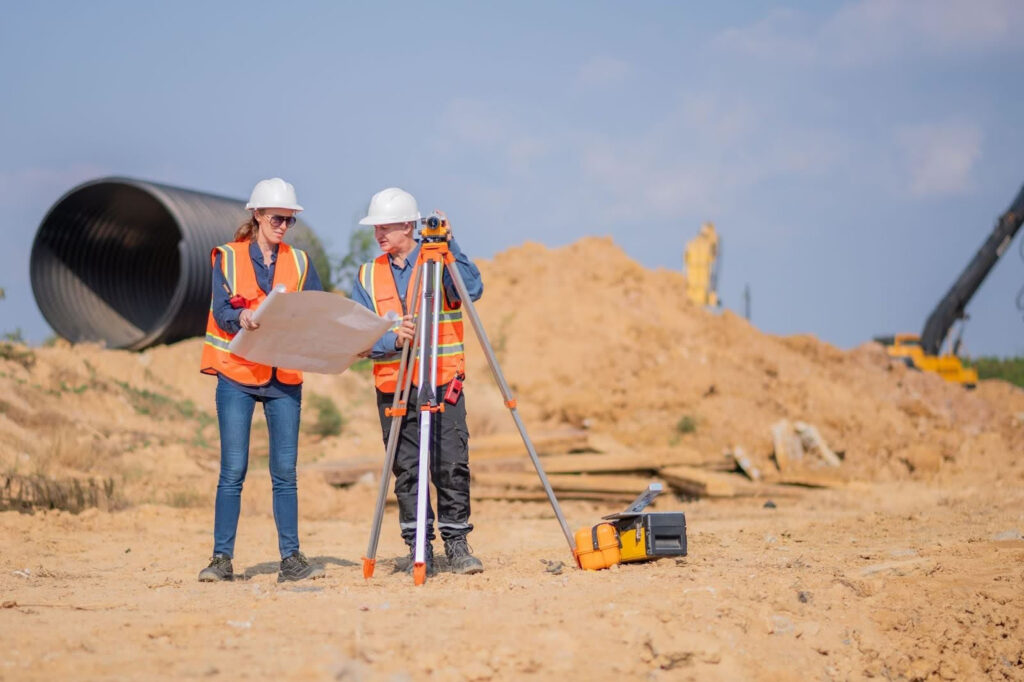
Take the Next Step with Highland Surveying
Ready to build with confidence? Contact Highland Surveying today to discuss your next project. Our team of experienced surveyors and civil engineers will guide you through every stage, from initial land assessment to final design. Call us at (385) 324-7090 or visit Highland Civil Engineering and Design to learn more and get started!
Don't let your project fall victim to poor planning. Reach out today and ensure your land development is built to last!
When you're ready to build smarter from the ground up, explore Highland Surveying's Civil Engineering services or schedule a consultation to discuss your project's specific needs.