

If you’re buying, refinancing, or developing a commercial property in Utah, chances are you’ve heard the term “ALTA/NSPS Land Title Survey.” But what exactly is it, and why do so many lenders and title companies require one?
This guide offers a practical breakdown of ALTA/NSPS Land Title Surveys, including what they are, why they’re critical in Utah, what to expect from the process, and real-world insights from the field.
ALTA/NSPS Land Title Survey: What They Are and Why They Matter More Than You Think
ALTA/NSPS Land Title Surveys are not just your average boundary surveys. They are highly detailed, standardized surveys required in many commercial real estate transactions.
They combine:
- A precise map of property boundaries
- Documentation of visible and recorded improvements
- Easements, rights-of-way, and encroachments
- Information relevant to title insurance
These surveys follow national standards established by:
If a lender or title company is involved in a commercial deal, this is often the only survey format they’ll accept.
Why Utah's Growth Is Making These Surveys Essential for Commercial Real Estate
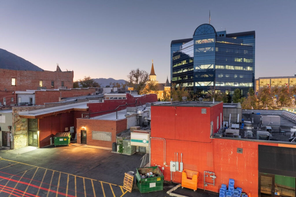
Utah has become a hotspot for commercial development, from Salt Lake County’s tech corridor to industrial parks in St. George. With that rapid growth comes increased land use complexity and legal risk.
An ALTA/NSPS Land Title Survey is your best protection against:
- Property line disputes
- Undocumented easements
- Zoning surprises
- Title claim issues
- Potential encroachment
In places like Lehi, Ogden, and Provo, where older parcels meet new infrastructure, these surveys can uncover problems that could derail deals or delay development. They’re not just about precision. They’re about preventing legal and financial headaches.
What Surprises Most Clients About ALTA/NSPS Land Title Survey Results
Many clients expect a simple map. What they get is much more.
Common surprises include:
- How detailed the survey is (including utilities, access, and topography)
- Discovery of neighboring encroachments or obstructed access
- Location of recorded and unrecorded easements
- Inconsistencies between deed descriptions and on-site conditions
Most ALTA/NSPS Land Title Surveys also include Table A items—optional components tailored to lender or buyer needs, such as:
- Zoning information
- Utility locations
- Flood zone data
- Parking space counts
These options make the survey more versatile but can also extend fieldwork and reporting time.
Before You Order an ALTA/NSPS Land Title Survey: Here’s What to Know
Getting an ALTA/NSPS Land Title Survey isn’t as simple as calling and scheduling a crew. Here's what you’ll need to have ready and what to expect:
You'll need:
- A title commitment from a title company
- Knowledge of the required Table A items from your lender or attorney
What the process looks like:
- Records Research – We gather legal documents, plats, and GIS data (internally)
- Field Surveying – On-site measurements using GPS and total station instruments
- Evidence Review – We analyze collected data and documentation to ensure accuracy and identify any discrepancies before drafting.
- Drafting – The certified map is created to ALTA/NSPS Land Title Survey specifications
- Review and Delivery – Provided in digital and hard-copy formats
Typical turnaround: 3-5 weeks, depending on complexity.
How Much Should You Expect to Pay for an ALTA/NSPS Land Title Survey in Utah?
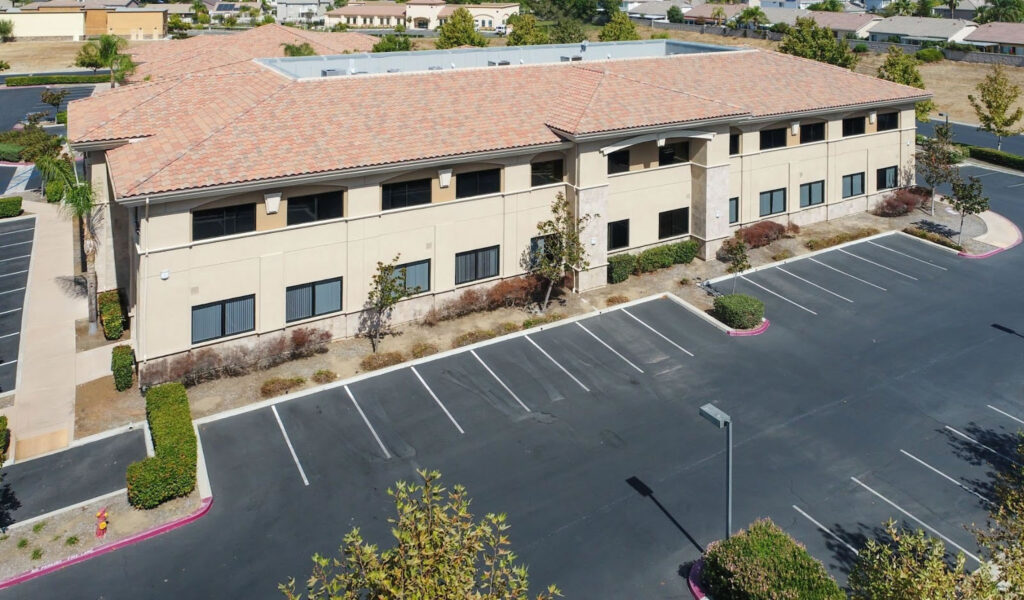
Pricing for ALTA/NSPS Land Title Survey isn’t one-size-fits-all.
Key pricing factors:
- Property size and location
- Terrain (flat vs. hilly or irregular)
- How many Table A items are selected
- Complexity of title and deed research
Typical Range:
- $4,000 – $10,000+ for standard commercial properties
We provide clear, customized estimates upfront, so you can plan accordingly.
Straightforward Answers to Questions Utah Property Owners Always Ask
What does an ALTA/NSPS Land Title Survey include?
Boundary lines, structures, utilities, easements, encroachments, and optional Table A data, documented to national standards.
How long does an ALTA/NSPS Land Title Survey take?
3-5 weeks, depending on property size and complexity.
Do I need one for a commercial real estate deal?
Almost always. Your lender will usually require it, and it’s often part of your due diligence.
How is it different from a boundary survey?
A boundary survey shows lines; an ALTA/NSPS land title survey is to the National Standards and must show easements, access, and improvements, data critical to title and insurance.
Who typically pays for the survey?
Usually, the buyer or borrower, but it’s negotiable in the transaction.
When Surveying and Engineering Work Together: How It Saves Time Down the Road
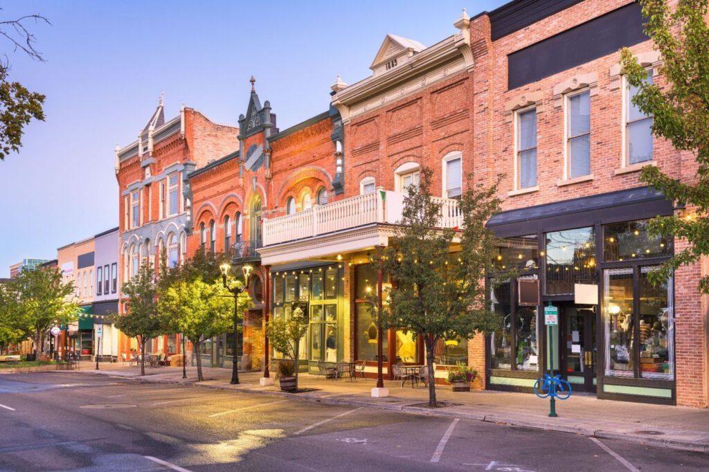
While ALTA/NSPS Land Title Surveys are typically used for title insurance and closings, they’re also the first step toward smart development. Many clients who complete a purchase plan to build or expand shortly after.
That’s where Highland Surveying’s civil design team comes in.
We bridge the gap between surveying and site development, helping clients move smoothly from title documentation into:
- Site design
- Grading and drainage planning
- Utility coordination
- Permitting support
Having both services under one roof eliminates disconnects and avoids costly do-overs when new teams start from scratch.
Don’t Let Your ALTA/NSPS Land Title Survey Be an Afterthought
Our team brings decades of combined expertise across Utah’s surveying and civil engineering landscape. We’re proud to work with commercial clients, developers, title companies, and attorneys throughout the state.
Our goal? To give you confidence in your property before you commit a single dollar to closing, design, or development.
Ready to Get Started?
Call us at (385) 324-7090 or request a quote online today. Whether you’re in Salt Lake City, Lehi, Ogden, or St. George, we’re here to make your ALTA/NSPS Land Title Survey straightforward, accurate, and reliable.