
Boundary surveys are one of the most fundamental tools in land ownership and property rights, and yet many homeowners, land buyers, and even businesses don’t fully understand what they are, when they’re needed, and how they work. In Utah, where varied terrain, growing population centers, and increasingly complex land use patterns intersect, knowing your property boundaries can save you time, money, and legal headaches.
In this comprehensive guide, we’ll walk through what boundary surveys are, why they’re vital in many scenarios, how surveyors perform them, how accuracy is determined, and common questions people ask before hiring a surveyor. We’ll also show how boundary surveys relate to other survey types, and how to use them effectively.
This is your definitive resource. You can bookmark, share with clients or neighbors, and come back to it whenever boundary issues arise.
What Is a Boundary Survey?
A boundary survey is a specialized type of land survey that determines and maps the legal property lines of a parcel of land. Unlike other survey types that may focus on improvements or topography, a boundary survey’s primary purpose is to identify exact property corners, boundary lines, and markers, and to certify those findings against the legal descriptions found in deeds and recorded plats.
The output of a boundary survey typically includes:
- A map (plat) showing the property lines
- Locations of existing markers or monuments
- Numerical descriptions of line segments and bearings
- Notes on deed records and historical research
- Any observed encroachments or conflicts with recorded data
Boundary surveys are most commonly used for residential and rural properties, but they are also essential for commercial land where line accuracy affects construction, access, and financing.
A boundary survey is different from a more comprehensive format like an ALTA/NSPS survey, which serves commercial transactions and includes more detailed title and improvement data. If you’re unsure about those differences, understanding the difference between ALTA and boundary surveys helps clarify why one might be required over the other.
The Legal Importance of Boundary Surveys in Utah
Legal descriptions of property can be based on several systems:
- Metes and bounds descriptions
- Subdivision plats
- Government survey (rectangular system)
Each method has its quirks, and boundary surveyors must interpret these legal descriptions to determine property limits physically on the ground. This intersection of legal documentation and fieldwork gives boundary surveys their legal weight.
When a surveyor signs and stamps a boundary survey, that document becomes a legally defensible delineation of property lines. Many municipal governments, lenders, and title companies will accept that survey as the authoritative source when conflicts arise.
Boundary surveys help define your property rights in the eyes of the law, not just on paper, but in real-world coordinate space.
When Do You Need a Boundary Survey?
It may seem like a boundary survey is just for “problem” properties, but there are many common scenarios where ordering one is a wise decision.
Purchasing Land or a Vacant Lot

When buying undeveloped land, especially in rural areas, such as northern Utah County or Iron County, property lines may not have visible markers. A boundary survey clarifies:
- Property dimensions
- Legal corners
- Whether improvements like driveways or fences encroach onto neighboring land
Interior buyers, especially first-time buyers, often don’t realize that many parcels labeled on maps do not have clearly marked lines on the ground. This can lead to disputes — a situation best avoided by confirming line locations before closing. That’s why many buyers choose to verify boundary lines with a survey before purchase.
For more insight into this scenario, see our discussion on buying undeveloped land in Utah and why boundary surveys are often the first step in due diligence.
Building a Fence or Structure
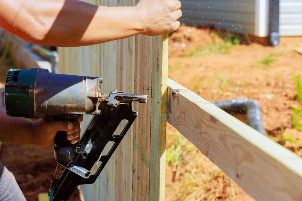
Do you plan to install a fence, garage, or shed? Without knowing your exact property corners, you could inadvertently build on your neighbor’s land, even if the existing fence line has been in place for years.
Boundary surveys give you the confidence that improvements are built within your property limits and in compliance with setback requirements.
Property Line Disputes

Disputes between neighbors over where a boundary lies are not uncommon. Even small disagreements can escalate when property values are high or when improvements are involved.
In these cases, a survey often provides the definitive evidence needed to resolve the issue. Professionals can then work with both parties to clarify line ownership, record easements, or, if necessary, take the matter to civil court with clear documentation.
When disputes arise, property owners often look to resolve property line disputes legally with clear surveying evidence.
Subdividing or Adjusting Parcels
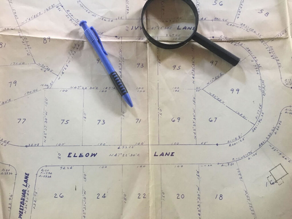
If you’re considering a lot split, combining parcels, or changing a property boundary, a boundary survey is required. Local county offices will often mandate surveyed plats to record the new configuration.
This process ensures that legal descriptions match physical conditions and that new parcels meet zoning and subdivision standards.
Permitting and Local Government Requirements

Some local governments and homeowners associations (HOAs) require a boundary survey to issue permits for certain types of construction or land alteration. Even when not strictly required, having one simplifies interactions with permitting agencies and avoids potential hold-ups.
Why Skipping a Boundary Survey Can Lead to Problems
In casual conversation, some property owners assume they know where their property lines lie based on fences, trees, or driveways. Unfortunately, these assumptions can lead to costly problems.
Encroachments
A neighbor’s fence, driveway, or even a tree can sit partially on your property without either party realizing it. Such encroachments may result in disputes, financial responsibility for removal, or even legal action.
Permit Delays
When you submit plans for permits without a boundary survey, local officials may request one later in the review process. That requirement can delay permits by days or weeks.
Financing Issues
Although boundary surveys are more common for land transactions than for traditional home mortgages, uncertain boundaries can still affect financing if lenders perceive risk in property description accuracy.
Legal Conflicts
When boundary lines are assumed rather than surveyed, simple disagreements (e.g., “Whose property is this?”) can escalate to costly legal battles that a professional survey could have prevented.
The cost of a boundary survey is typically far lower than the potential cost of litigation, reconstruction, or lost property value.
The Boundary Survey Process: Step by Step
Understanding what happens during a boundary survey helps set expectations for timing, cost, and deliverables.
Step 1: Document Research
Before setting foot on the land, the surveyor will research:
- Deed history
- Recorded plats
- Easements and restrictions
- Previous surveys
- County records
This phase often reveals discrepancies or ambiguities that the fieldwork must resolve.
Step 2: Fieldwork
A licensed survey crew visits the property with GPS receivers, total stations, and other precision instruments. Their goal is to locate existing boundary markers or reestablish them if missing.
Fieldwork can involve:
- Measuring distances and angles
- Identifying monuments or pins
- Documenting physical features at or near boundaries
Field conditions can vary wildly from mountainous northern counties to flat expanses in central regions, and this can affect time and cost.
Step 3: Analysis and Calculations
Once field measurements are complete, the surveyor compares them with the legal description and historical data. When conflicts exist, the surveyor applies established rules of survey priority and retracement to determine the most legally defensible boundaries.
This analytical work is where legal knowledge and professional judgment matter.
Step 4: Drafting the Boundary Map
After analysis, the surveyor prepares a boundary map (also called a plat) that shows:
- Property lines
- Bearings and distances
- Monuments or markers
- Adjoining properties
- Any encroachments or easements
This map becomes the legal document that defines your property’s boundaries.
Step 5: Final Deliverable
The surveyor delivers:
- A certified boundary map
- Field notes
- A signed and stamped survey report
Depending on your needs, you may receive digital formats (PDF, CAD) or printed copies.
If you’re curious to see this breakdown in the context of another survey type, we also detail what actually happens during a boundary survey in a separate post.
What Affects Survey Accuracy?
A boundary survey’s precision depends on several factors. Understanding these helps set realistic expectations and explains why costs can vary between properties.
Quality of Legal Documents
Incomplete or vague legal descriptions often require more research and interpretation, which adds time and complexity.
Older Utah properties with outdated plats or ambiguous metes and bounds descriptions are especially prone to this issue.
Site Conditions and Accessibility
Dense vegetation, steep slopes, or fenced areas can make locating markers difficult. Survey crews may need more time to verify boundaries in these conditions.
Previous Surveys and Monuments
Some properties have clearly marked monuments; others may have lost them over time due to construction or natural changes. Reestablishing these markers requires careful retracement work.
Survey Equipment and Expertise
Modern survey tools (GNSS, total stations) provide high accuracy, but experience and judgment are essential when reconciling records with real-world conditions.
To learn more about how precision is evaluated and what typically affects survey results, explore our insights on what affects survey accuracy and precision.
Top Questions Utah Property Owners Ask
Boundary surveys raise many questions for homeowners and land buyers. Here are some of the most common:
How much does a boundary survey cost?
Residential boundary surveys typically range from $1,000 to $1,500, depending on:
- Property size
- Terrain difficulty
- Access challenges
- Research complexity
Larger or more complicated properties cost more.
How long does a survey take?
A typical boundary survey takes 3 to 4 weeks from start to finish, but this varies with:
- Weather
- Records availability
- Access limitations
- Surveyor workload
Is a boundary survey legally binding?
Yes. A boundary survey performed and stamped by a licensed surveyor becomes legally defensible documentation of property limits.
Do I need a survey to sell my home?
Not always, but many buyers request one, especially if land boundaries are unclear or improvements are near the property line.
If you’re engaging in a transaction where line precision matters, investing in a survey can facilitate a smoother closing.
You can find more homeowner-centric answers and concerns in our post on common questions homeowners ask about property surveys.
Why Work With a Utah-Based Surveyor
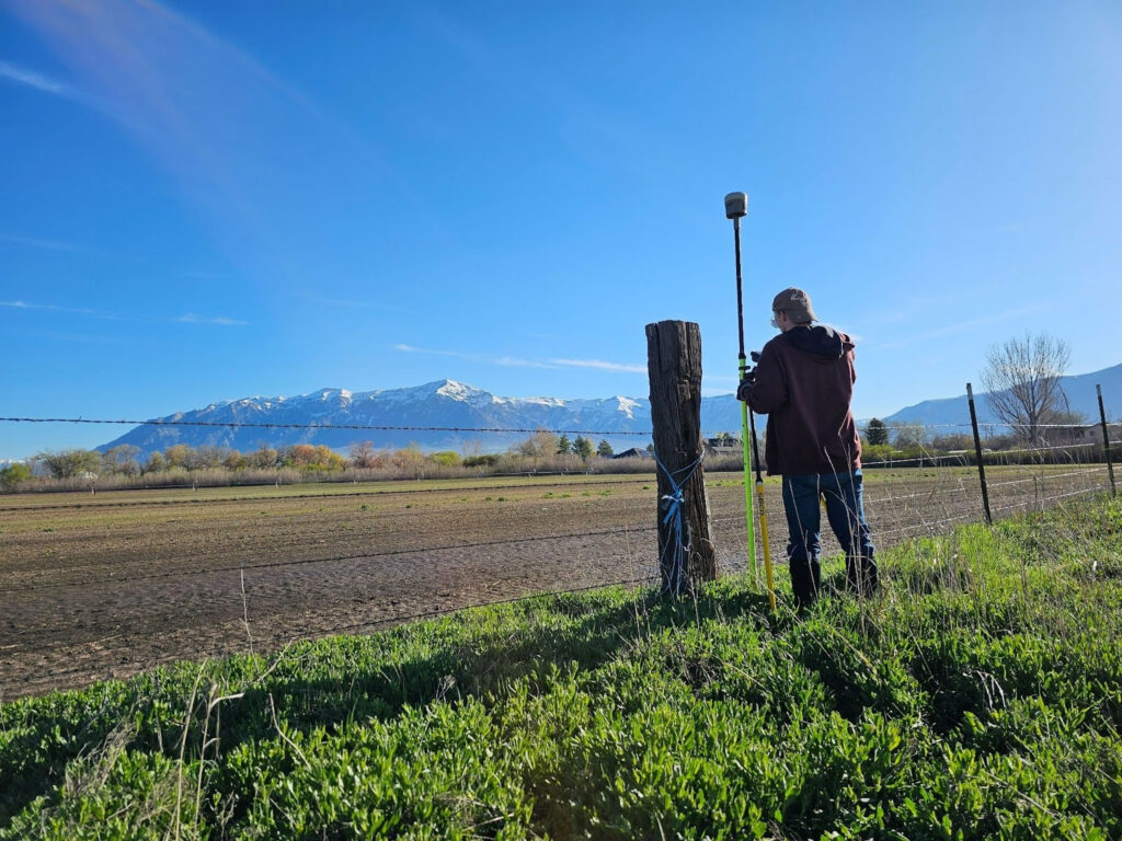
Local surveyors know local records, county quirks, and terrain challenges. Whether you’re in Salt Lake City, Ogden, St. George, or a rural canyon community, a Utah provider brings valuable context that out-of-state firms may lack.
At Highland Surveying, we combine boundary expertise with knowledge of local zoning, permitting, and development practices, providing clients with a comprehensive surveying experience.
Final Thoughts: Know Your Boundaries
Boundary surveys are one of the most effective ways to protect your property rights and eliminate uncertainty. Whether you’re buying land, resolving a dispute, or planning improvements, understanding your property lines removes doubt and empowers you with legal clarity.
If you need a boundary survey in Utah, contact us at (385) 324-7090 or request a quote online to get started.